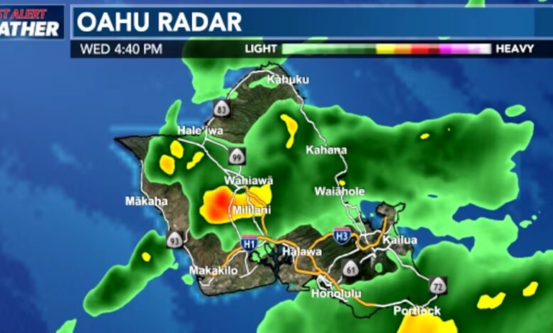
A surface trough shifting across the eastern half of Hawaii is continuing to bring heavy rain and isolated thunderstorms, prompting the extension of a First Alert Weather Day through the night. While the system has caused localized road disruptions and minor flooding, overall rainfall totals have remained below initial model projections, delivering beneficial moisture rather than severe weather.
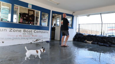
The trough axis has moved eastward, focusing heavier downpours and thunderstorms across Maui County and portions of Hawaii Island, including the Hamakua coast. On Molokai, all public schools were forced to close on Wednesday due to flooded roadways. Meanwhile, lighter showers are prevailing over the western end of the state, primarily affecting windward and mauka areas.
A Flood Watch remains in effect through early Thursday for Oahu, Molokai, Lanai, Maui, Kahoolawe, and Hawaii Island as southerly winds pull moist air across the islands. Atmospheric data indicates the overhead airmass is holding double its usual moisture content, creating high capacity for heavy rainfall alongside more humid conditions. Kauai, however, has experienced limited rainfall and is no longer under the watch.
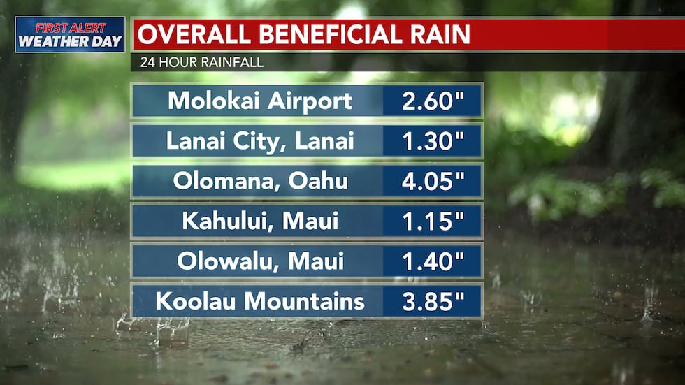
Precipitation totals vary significantly by region. Molokai has recorded the highest rainfall amounts, while Kauai has received the least. Hawaii Island has seen totals ranging from a trace to approximately three inches, though downpours remain localized. Mountainous zones have experienced heavier precipitation pockets, but meteorologists note that the upper-level jet and dynamics of the broad trough have been less severe than early weather model runs originally suggested. As a result, many neighborhoods have experienced intermittent drizzle rather than intense downpours, preventing widespread major damage.
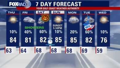
Weather conditions are projected to improve by Thursday or Friday. A brief period of trade winds is expected to return Friday night into Saturday, followed by breezy northeast winds developing Sunday as a shallow front approaches the islands. For Halloween trick-or-treating activities, conditions may turn slightly wet, though any precipitation is expected to remain largely confined to windward and mauka neighborhoods as more typical trade-wind patterns resume.