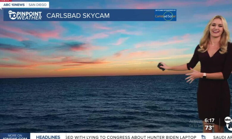
San Diego County is facing a period of significant coastal volatility this week as meteorologists track exceptionally high tides that threaten to flood beach communities. While much of the region enjoyed clear, sunny skies on Sunday, the conditions at the shoreline were already shifting, with morning high tides recorded at over 8 feet. This surge marks the beginning of a prolonged Coastal Flood Warning that is set to remain in effect through 1 p.m. Thursday.
Forecasters are monitoring water levels that are projected to run between 1 and 1.7 feet above standard astronomical tide predictions. These near-record levels present a specific risk to low-lying coastal areas, including parking lots, walkways, and residential streets. Although large surf is not currently in the forecast, the sheer volume of water means that even smaller waves will be able to push much further inland than usual. Authorities have identified the morning high tide cycles as the primary window of concern each day through Thursday, warning that shoreline erosion and property damage are possible in vulnerable zones.
Simultaneous with the rising waters, Southern California is experiencing an unseasonable temperature spike. Monday is expected to be the warmest day of the week for most of the county. Highs along the coast are projected to reach between 77 and 81 degrees, while inland communities will see temperatures climbing into the low 80s. The mountains and deserts are also feeling the heat, with mountain highs ranging from 67 to 75 degrees and the desert regions pushing toward the high 80s.
This warming trend will be short-lived, however, as a shift in weather patterns is expected to take hold by Tuesday and Wednesday. Forecasters anticipate the return of the marine layer, which will bring a resurgence of low clouds and patchy fog to coastal neighborhoods, particularly during the late-night and early-morning hours. As this layer thickens, temperatures will begin a steady decline, pulling the region out of its early-week heat.
Looking toward the end of the month, the forecast for Halloween weekend remains in flux due to two distinct weather systems. A developing low-pressure system situated over the Pacific Northwest is expected to move south, bringing cooler air, increased cloud cover, and breezier conditions to the region starting Thursday. At the same time, meteorologists are tracking a separate disturbance carrying subtropical moisture across the Pacific.
The interaction between these two systems will determine the severity of any potential rainfall. If the systems merge, San Diego could see significant precipitation over the holiday weekend. If they remain separated, the county may only experience light, isolated showers. While rain chances could begin as early as Thursday night or Friday morning, exact totals and the specific timing for different communities are still being refined. Residents planning outdoor Halloween festivities are advised to stay updated on the forecast as the systems approach.