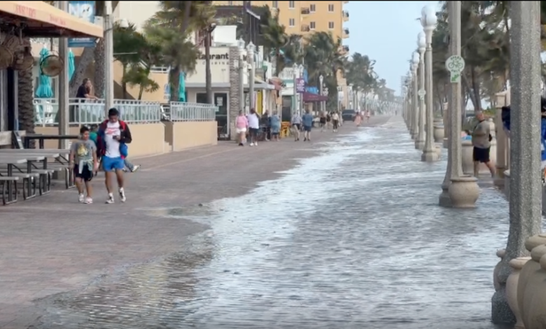
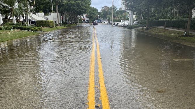
A powerful King Tide event has shattered multiple long-standing flooding records across South Florida, with water levels in some coastal areas surpassing the heights reached during major hurricanes. The inundation, which began peaking on Monday, Oct. 26, 2026, has left streets submerged, docks underwater, and neighborhoods grappling with saltwater intrusion even in the absence of a major storm system.
In South Port Everglades, water levels reached 2.25 feet above normally dry ground on Monday, officially surpassing the record set by Hurricane Nicole in 2022. The event also secured a place in the top five historical flood rankings for Virginia Key, Port Canaveral, and Lake Worth. These seasonal King Tides—the highest naturally occurring high tides of the year—have been amplified this week by persistent northeasterly winds and a tropical weather system moving through the region.
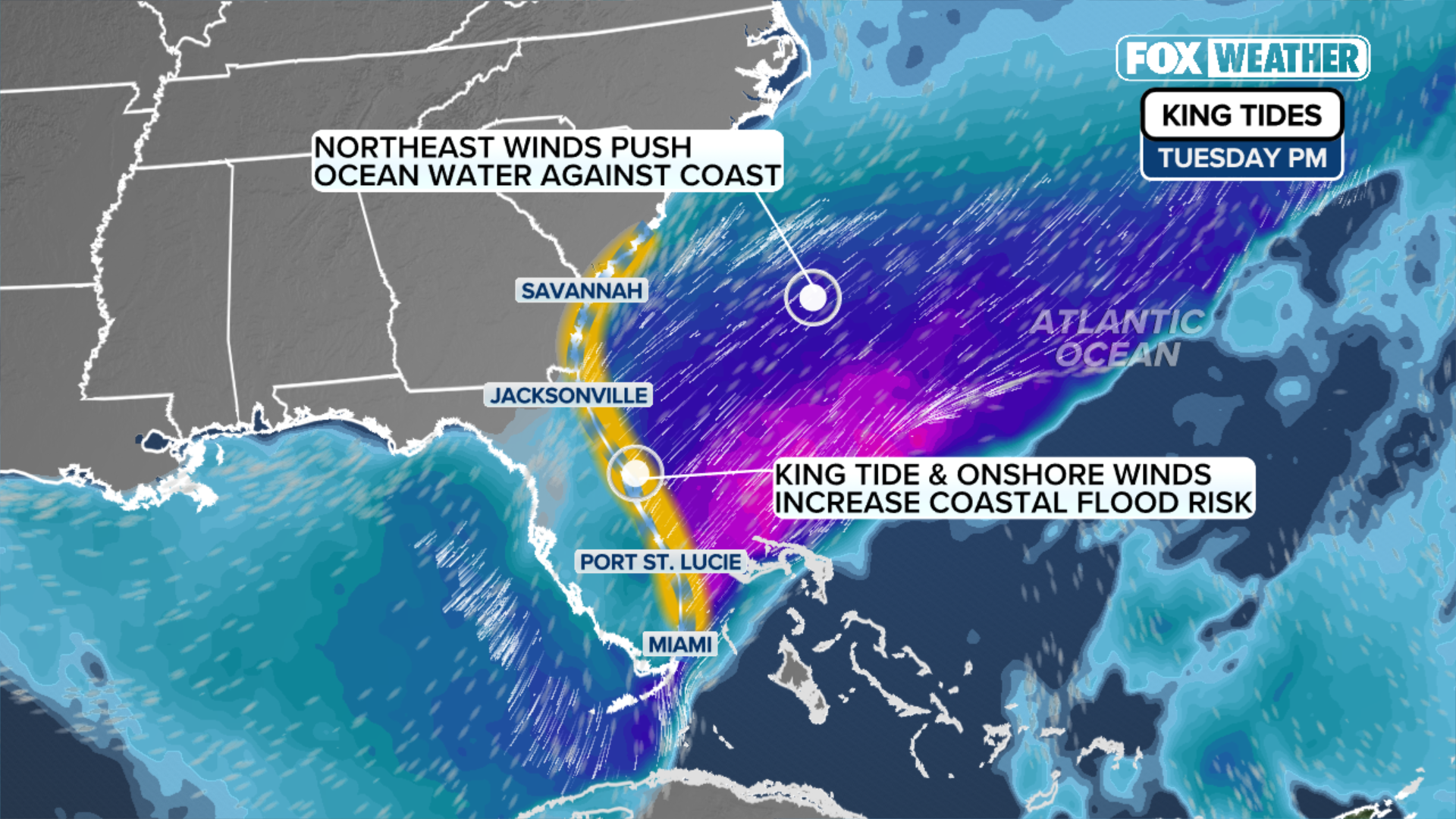
Coastal Flood Warnings currently span a massive stretch of the Atlantic coastline, covering parts of South Florida, Georgia, and the South Carolina Lowcountry. In Hollywood, Florida, witnesses reported seawater carrying debris through the streets, while in Stuart, private docks were swallowed by the rising tide. The phenomenon occurs as the astronomical alignment of the earth, moon, and sun pulls tides to their annual extremes, forcing saltwater back through storm drains and onto coastal roads in low-lying areas like Miami Beach, Brickell, Fort Lauderdale, and the Florida Keys.
The situation in Florida is being further complicated by an upper-level low-pressure system near Cuba. This system is drawing deep tropical moisture across the peninsula, threatening additional rainfall totals of more than 2 inches through the week. Forecasters warned that if heavy downpours, which could exceed 1 inch per hour, coincide with the peak of the King Tides, urban drainage systems will likely fail, significantly worsening the risk of flash flooding in Miami-Dade and Broward counties. A Level 1 flash flood threat remains in effect through Tuesday.
Beyond Florida, the impacts are being felt as far north as the South Carolina Lowcountry. In Charleston Harbor, water levels are expected to reach or exceed 2 feet, a threshold that could lead to major flooding in downtown streets and render several coastal roads impassable. In Georgia and the Jacksonville area, northerly winds of 20 to 25 mph are preventing proper drainage along the St. Johns River, causing high water to linger in riverfront communities.
While the primary focus remains on the Atlantic, the astronomical event has also reached the West Coast. A new flood record was set in Los Angeles on Monday, with coastal flooding expected to continue across much of the California coastline through Thursday.

Conditions in the Southeast are expected to remain critical through Wednesday. Meteorologists indicate that water levels should begin to gradually ease after midweek as the peak of the astronomical tide cycle subsides, though hazardous surf and dangerous rip currents are expected to persist in the interim.