Atmospheric Disturbance Above North Pole Threatens Historic Early Season Polar Vortex Weakening

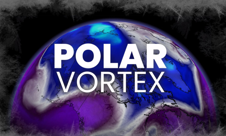
An extraordinary atmospheric disturbance occurring 30 kilometers above the North Pole is threatening to derail long-range winter forecasts before the season even begins. Just as the polar vortex should be gathering strength for the winter months, meteorological models are indicating a significant weakening that could reach historically low levels by early November. This potential disruption arrives during a year already influenced by a powerful El Niño, creating a complex atmospheric puzzle for the Northern Hemisphere.
The polar vortex is a massive circulation of powerful winds high in the stratosphere that typically forms every autumn as the Arctic loses sunlight and temperatures plunge. Under normal conditions, this spinning top of cold air gains momentum through the fall. However, current guidance suggests the vortex may experience an unusual weakening weeks earlier than has ever been observed in modern records. Some predictive models even suggest a complete reversal of these high-altitude winds, a phenomenon known as a sudden stratospheric warming (SSW) event.
While an SSW event is more common in January or February, an occurrence in early November would be highly atypical. The cause of this early-season instability appears to be a transfer of energy from the lower atmosphere. Powerful atmospheric waves and high-pressure ridges near the Earth’s surface are working upward, disrupting the stratosphere’s circulation. This “bottom-up” development means the usual delay between stratospheric changes and surface weather impacts may be shortened, as the patterns close to the ground are already helping to drive the high-altitude disruption.
The influence of El Niño adds another layer of volatility to the forecast. While a strong El Niño typically favors a milder winter across large portions of North America, it also reshapes the circulation over the North Pacific. These shifts can favor the creation of larger atmospheric waves that are capable of punching into the stratosphere and destabilizing the polar vortex. Research indicates that the stratospheric response can become more pronounced during strong El Niño cycles, meaning that even a generally mild seasonal outlook may be punctuated by brutal, short-term cold-air outbreaks.
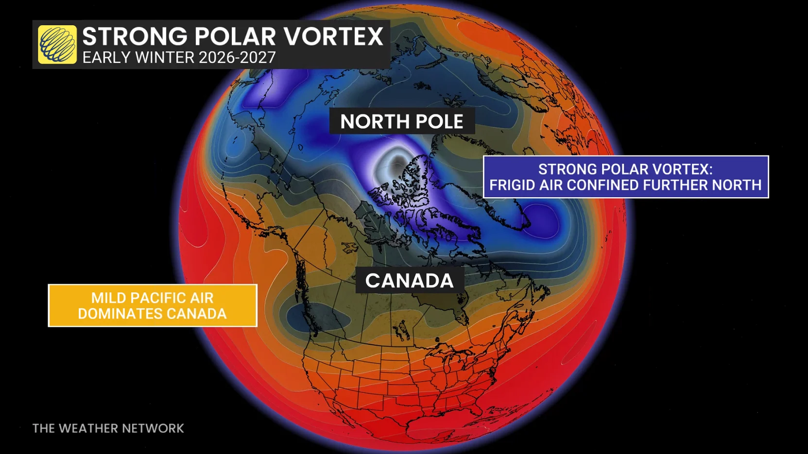
Despite the potential for a historic disruption, meteorologists caution that a weakened polar vortex does not guarantee immediate freezing temperatures for all regions. For a disruption to impact surface weather, the jet stream must respond by rearranging its ridges and troughs. If the vortex breaks down, the reservoir of Arctic air could slide into North America, but it could just as easily be diverted into Europe or Asia. Furthermore, because it is only November, the Northern Hemisphere has not yet built up the deep reservoir of extreme cold typically available during the peak winter months of January and February.
As the situation develops over the next four weeks, forecasters are monitoring three specific factors: whether the stratospheric winds actually reverse direction, how the impacts migrate down into the lower atmosphere, and exactly where the jet stream positions itself in response to the chaos aloft. While the overarching seasonal signal still points toward a milder-than-normal start to winter, this unprecedented stratospheric activity introduces a significant element of uncertainty that could deliver unexpected Arctic surprises well before the official start of the season.