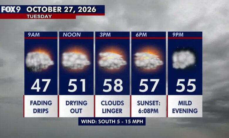
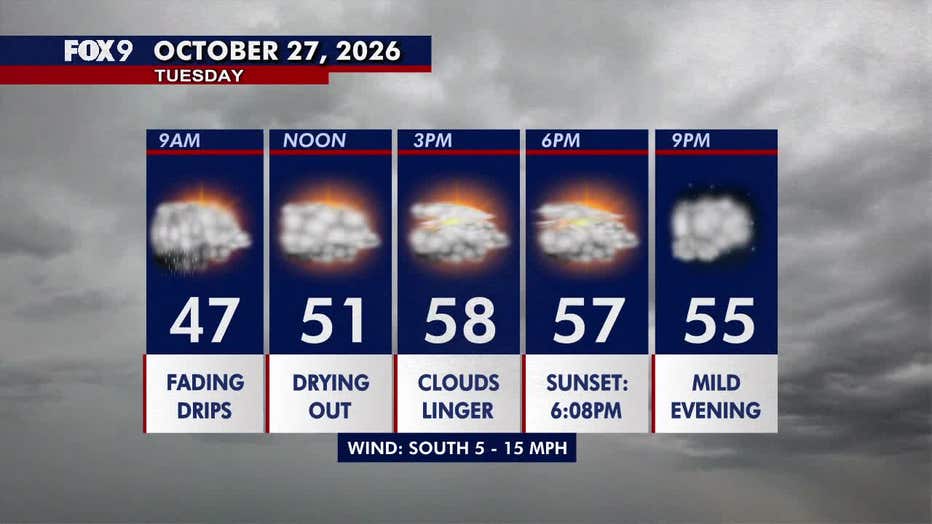
Morning rain showers gradually cleared out across Minnesota, giving way to a drier and slightly warmer Tuesday afternoon despite lingering cloud cover that persisted throughout much of the state. Early precipitation moved off to the north and east, leaving behind only isolated, scattered sprinkles that lingered through the lunchtime hour.
Afternoon temperatures varied considerably by region. Southeastern Minnesota experienced the warmest conditions, with readings climbing into the 60s, while the Twin Cities metropolitan area reached an afternoon high of approximately 58 degrees. Meanwhile, northern Minnesota remained cooler, holding steady in the 40s. Surface winds from the south stayed relatively light, moving at speeds between 5 and 15 miles per hour.
Overnight conditions across the state remained quiet and seasonably mild beneath persistent cloud cover. Overnight lows dropped into the 40s across a large portion of Minnesota, though central and southern areas stayed slightly warmer with lows in the 50s. Northwestern Minnesota recorded the coolest overnight temperatures, dipping into the upper 30s.
The atmospheric pattern is set to shift midweek as southerly winds draw warmer and more humid air into the state. Wednesday highs are projected to reach the 60s across central and southern regions, while southeastern areas could see temperatures climb into the low 70s. Northern Minnesota will remain cooler, with daytime highs expected to top out in the 50s.
Conditions will deteriorate late Wednesday afternoon and evening as a cold front sweeps through the region. The incoming system is expected to trigger thunderstorms, with the highest potential for storm activity concentrated along the Interstate 35 corridor. These storms are anticipated to push eastward and exit the state by Wednesday night.
Skies are expected to clear significantly on Thursday, bringing sunshine back to the state alongside daytime temperatures in the low 60s. The clear trend will be brief, however, as a fresh chance for a few scattered showers develops Friday and persists through Halloween. Temperatures are expected to remain steady in the 60s throughout the weekend and into early next week, with another potential round of light rain showers arriving by Monday.