California Airports Face Holiday Flood Risks Amid Record El Niño and Sea Level Rise

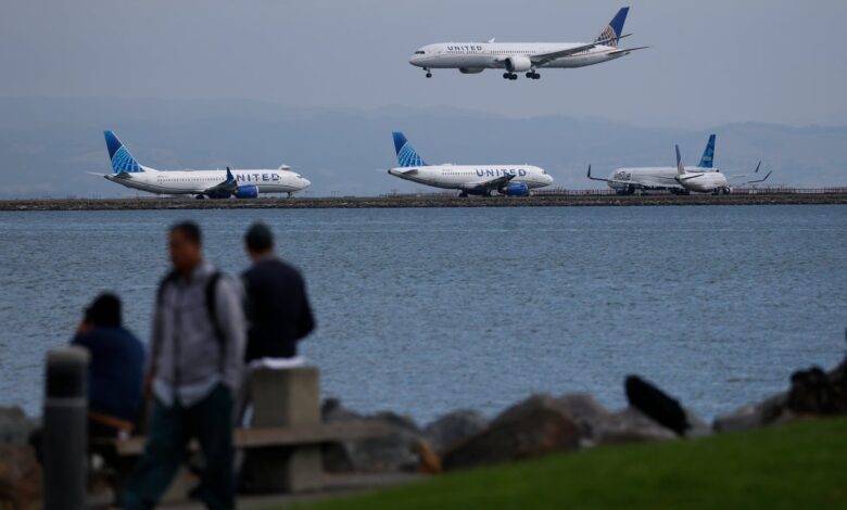
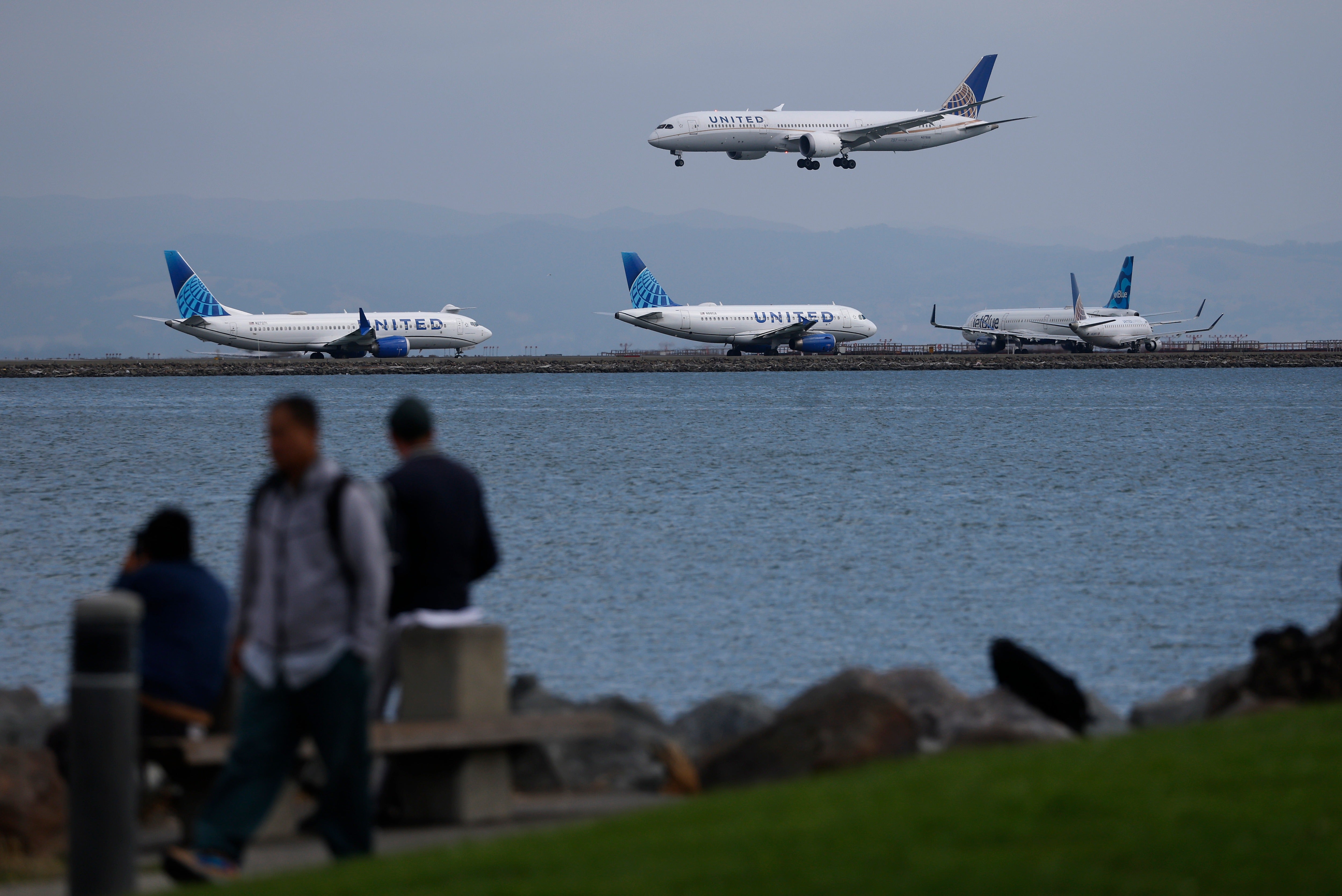
Major California airports utilized by millions of travelers face potential flooding hazards during the upcoming holiday season, driven by a powerful El Niño climate pattern and ongoing sea level rise, according to a new report. While recent levee upgrades have lowered risks at Oakland International Airport, San Francisco International Airport remains vulnerable. Built on marshland, the facility could experience flooding of 3 feet or more, a scenario that threatens to ground flights since takeoffs are not recommended when standing water on runways exceeds 0.5 inches.
Fraser Shilling, director of the University of California-Davis Road Ecology Center, emphasized that timing remains a critical factor. “It doesn’t mean it’s certainly going to happen because it’s all about timing,” Shilling stated. However, following a week of record-breaking tides up and down the California coast, experts warn that worse conditions may lie ahead, describing the recent high water as merely a preview.

San Francisco International Airport, which accommodated more than 1.8 million travelers during Thanksgiving alone, already utilizes various flood protection defenses. Doug Yakel, a public information officer for the airport, noted that existing safeguards include concrete seawalls, vinyl sheet pile walls, and concrete-capped earthen berms. Facility staff are also undertaking seasonal preparations to mitigate flood risks, which involve clearing drainage areas, verifying that pump stations are operating at top condition, clearing trees that could trigger power outages, and preparing sandbags. In response to these measures, Shilling contended that such actions do not constitute long-term protection, a remark that Yakel did not address.
Infrastructure along U.S. coasts faces accelerating threats from climate change, as demonstrated by the recent high tides that shattered records across the Bay Area and Southern California. Anthony Edwards, a meteorologist at the San Francisco Chronicle, reported that San Francisco surpassed its previous October high tide records by reaching 2.01 feet. Meanwhile, both Los Angeles and San Diego recorded their highest coastal water levels in over a century. The resulting water encroachment has stranded motorists, submerged backyards, and forced residents to navigate flooded areas using kayaks and paddleboards.
These swelling tides—which state government officials note are not yet classified as king tides—are being driven by near-record offshore ocean temperatures, lunar positioning, and El Niño-spurred pulses of energy known as Kelvin waves. Climate scientist Marc Alessi explained that combining sea level rise, high tides, marine heat, and Kelvin waves pushes water toward the coast, resulting in tidal heights at least 34 feet above normal. Recent models further indicate that between 24 and 75 percent of California beaches could vanish seasonally or permanently by 2100 without proactive resilience measures.
Looking ahead to the holiday travel season, extreme weather and climate change expert Dr. Jeff Masters projects that December tides could measure 1 to 2 feet higher than those recorded recently. Climate scientist Daniel Swain noted that peak El Niño intensity is anticipated around November and December, meaning that already warm, expanding seawater will continue pushing further onto coastlines. Anticipating the trajectory, Swain projected multiple widespread and severe coastal flood events between November 2026 and January 2027.